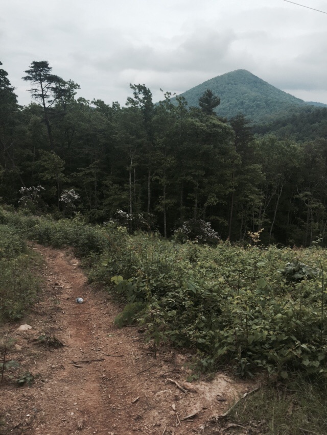
We were sad to leave Tubby behind at the Green Cove Motel and Store, but we had places to go. We began with a 1.4 mile was back to the trailhead at Telico Fish Hatchery. From here we walked old road bed 95% of the day. Our first old road walk was up the Sycamore Creek Trail. We walked nearly 6 miles up a gradual hill before hitting a forest service road and climbing all the way up to Whigg Meadow and our first actual good view on the BMT! We met an older couple here and talked to them during our lunch. When we did the extra quarter mile up to the top we met some grad students looking to place bat boxes for research purposes. We had an easy hike down to Mud Gap and the Cherohola Skyway where we had a piped spring waiting on us!

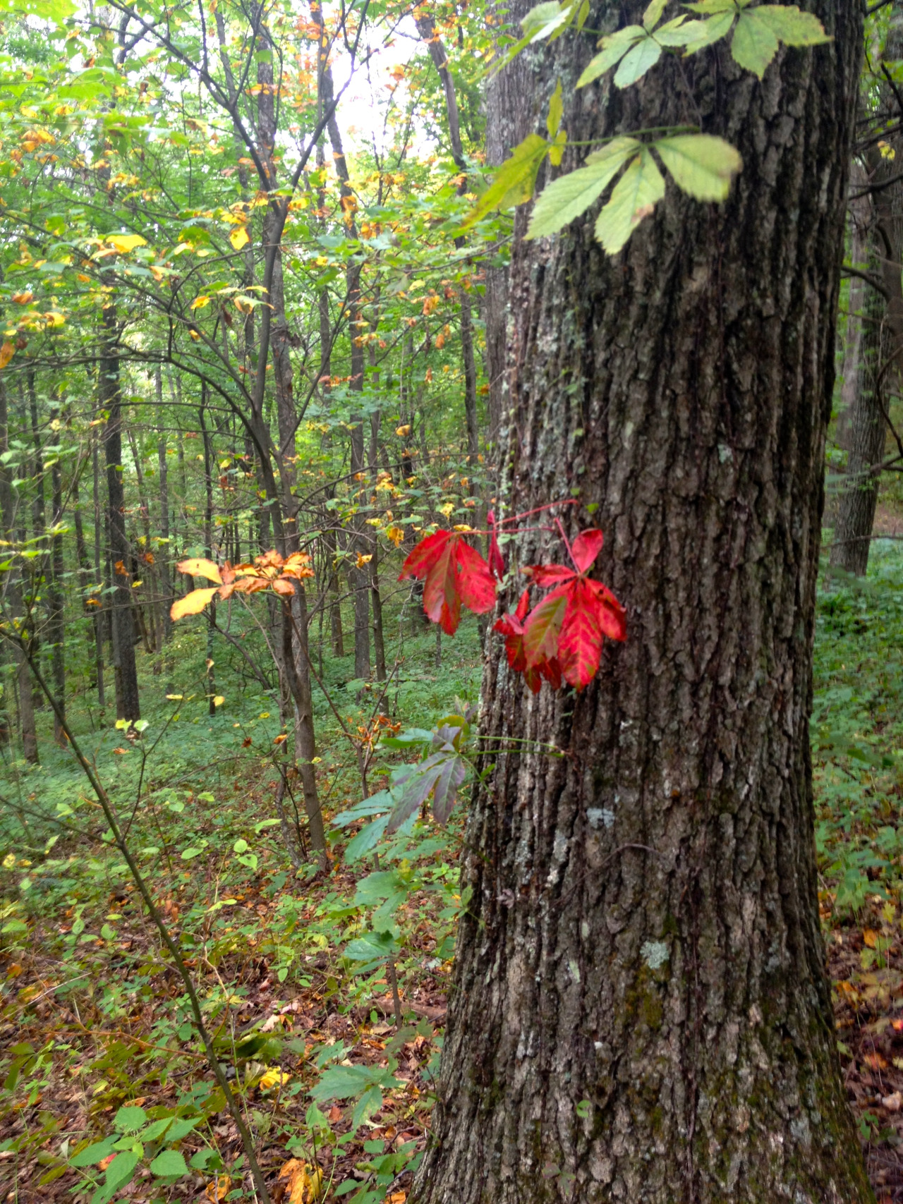
Looking up at Whigg meadow
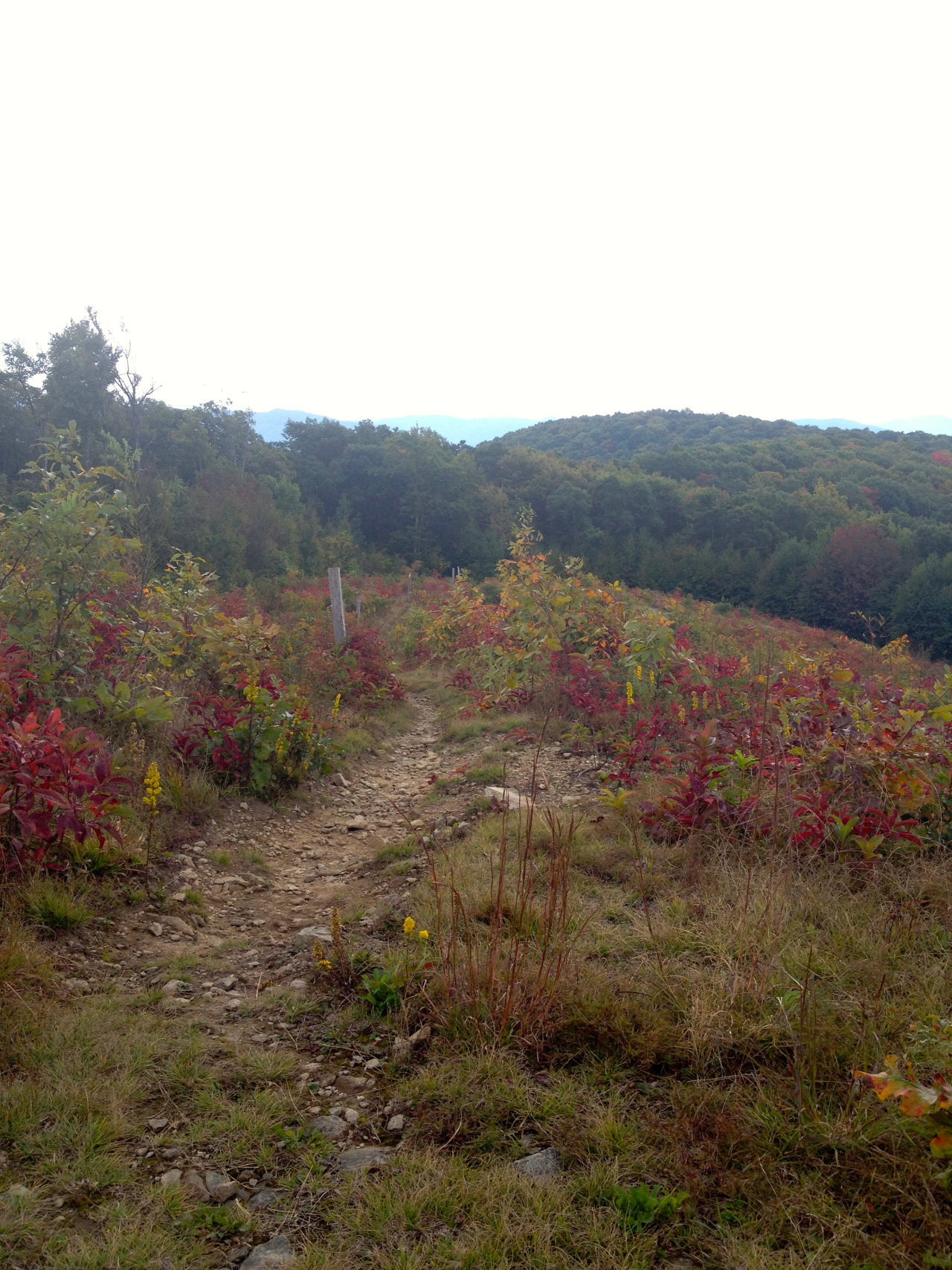
Haha, I'm only kidding! The book said there was water here, but you know by now there wasn't any! It was only 1 pm and we had already done 9 miles, but it was starting to get hot! We passed through the site of a former rock quarry that now looks like a bald and walked down to a forest service road before heading back up to meet the Cherohola Skyway again. We had another beautiful view at Unicoi Gap before heading back into the woods and following an old jeep road for a little while.

Walking through the old quarry
About 2 miles in we met Kyle who was out hiking with his sister's dog. It turns out he is friends with All Smiles, a man we hiked with for a few days back on the AT in 2012. Once again, the trail community is so small! We continued on and found a wonderful piped spring and chugged as much water as we could before filling up our bottles and heading on our way. We left the jeep road about a mile later and started climbing. We spotted a great campsite but there was no water nearby so we kept moving. We crossed two small streams and came to a large campsite about 1.5 miles later. We thought this was our destination, but it turns out somewhere in the weeds was our campsite and we had passed it up. This meant I had to walk back half a mile for water (a mile round trip for those keeping count at home!) we also fixed a trail sign that is obviously very wrong here. No blazes means it's easy to get turned around in a wilderness area, so the correct signage now will help!

Even more views! This is Unicoi Gap on the Cherohola Skyway.