
We started earlier today, about 8:30, and began our first climb of the day to Cantrell Top. The sun came out for the morning and we had some easy ups and downs until we reached Hipps Gap, a dry (shocker, I know!) campsite. From here we had to start climbing but our day looked easy on the map and profile because once we were up, we were on top of the ridge. We couldn't have been more wrong.

This is a North Carolina State line marker from the early 1800s
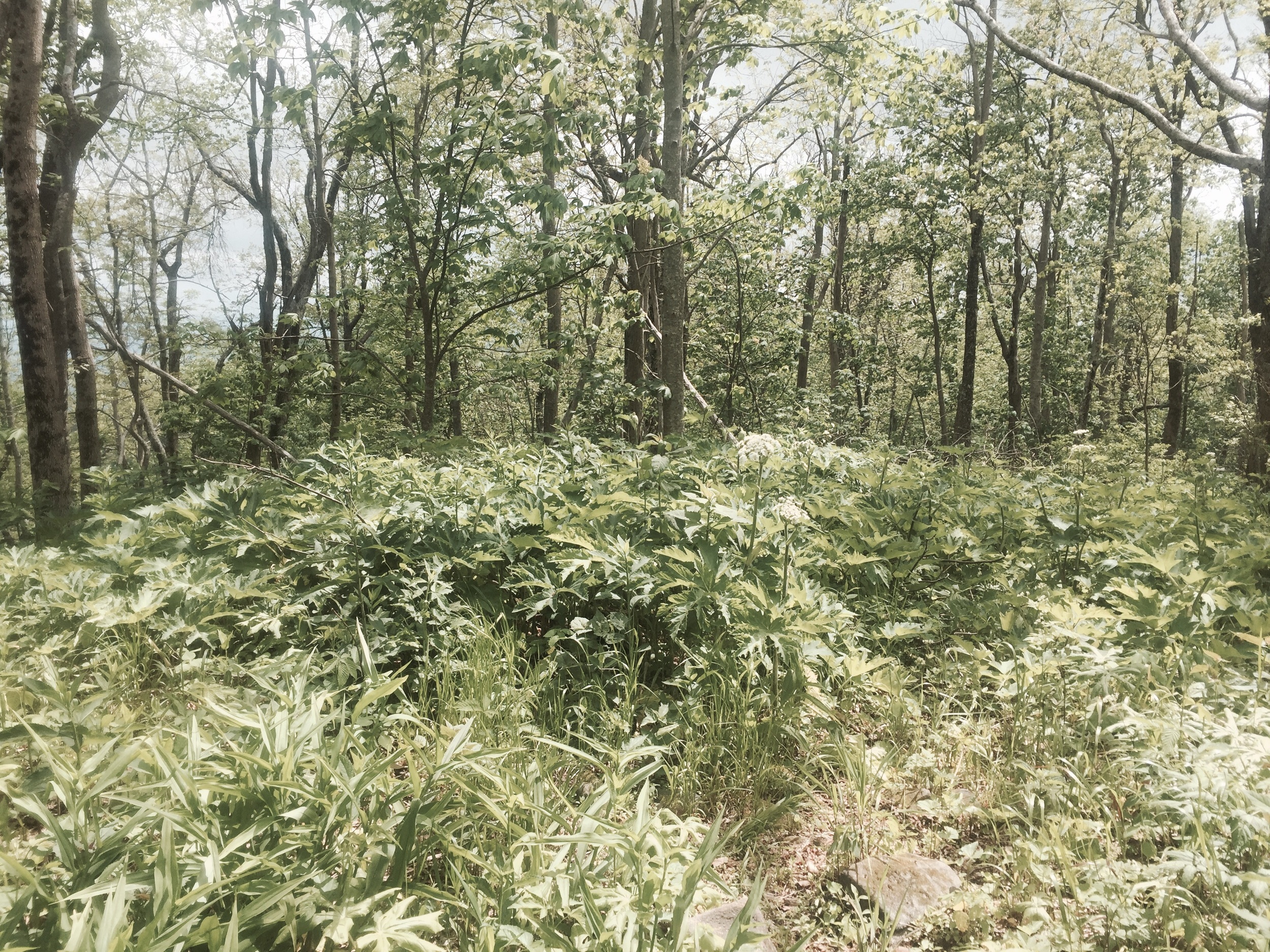
After some crazy steep climbing and an attempt to get water that didn't pan out, we reached Moss Gap, noted for the hairpin turn in the trail and a tree marked with a giant X indicating there is water a mere half mile off the trail. We decided to head up and get water at one of the few campsites if we needed it. This is where our day turned to utter shit. For the next four miles we bushwhacked through immense blowdown. The trees were thankfully blazed and there was a faint path of where people had gone through a week ago, but otherwise we were completely on our own. For four miles, which took us three hours in the pouring rain, we climbed through branches, grass up to our necks, and thorns shredded our legs. Any evidence of campsites and unmarked side trails was completely obscured. It looked as if a tornado had hit the mountain.

There is a trail in here... Follow the blazes and make your own path!
When we finally hit Rocky Top, we had about half a clear mile before coming to another hairpin turn at Sledrunner Gap - the halfway point of the BMT. Now, we were coming downhill in the same shit we climbed on the other side. This side was even worse because it followed and crossed a stream multiple times. Rhododendron were down everywhere and even harder to climb through. Again, all campsites and mile markers were completely wiped out due to the utter disregard for trail maintenance. At 4 pm we had to make a decision. We were at a trail junction where the BMT went up and trail 180 looked to be going down. The map indicated in about 6.5 miles we could be at the same location 5 BMT miles would take us to. We had been hiking for 7 straight hours without eating or stopping and we decided the road might be longer, but at least it was clear.
Which way to go now...?
This decision changed our entire day. Trail 180 was an old roadbed that appeared to have a lot of recent foot and horse traffic. We got down the 1.5 miles in less than 40 minutes. We came out at a campsite and ate a quick dinner before walking FS 126, a gravel road that went up and between two mountains before coming downhill to Tellico River Road. It was about 6:50 when we finally made it to the road and we knew that the Green Cove Motel was 1.4 miles from the trail. We walked about a quarter mile before coming to the Sourwood Campsite and some people told us the motel wasn't far. They even drove us down. When we got to the store, the woman working there, Tubby, was only there just to stock the place. She said we were incredibly lucky to catch her as she had just got back from a trip to Knoxville and was shutting up for the night. We grabbed snacks and sodas and checked in for two nights as we were utterly exhausted.