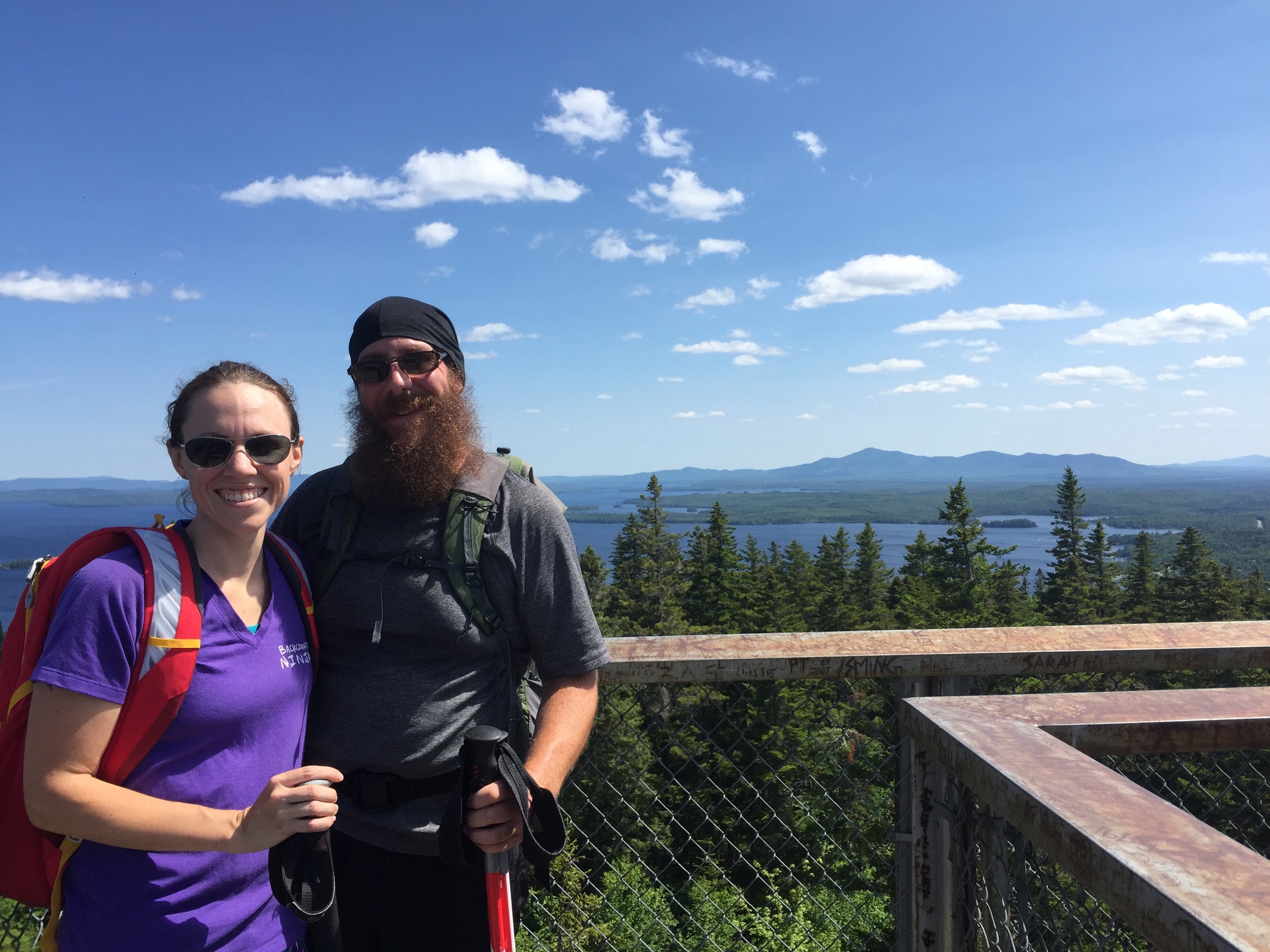
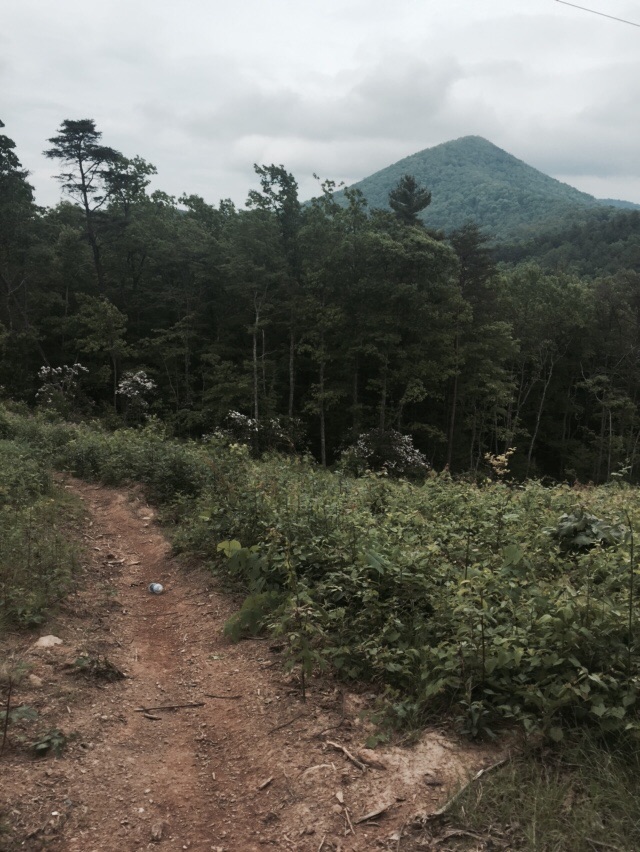
My most recent trip as an REI Adventures guide had me taking our clients northbound on the AT this time. With the fall colors only a few days away from peaking, I was excited to spend a sunny and unseasonably warm four days above the valley on the Appalachian Trail. As all of our trips begin, we met the clients in the parking lot for introductions and pack shakedowns. Again we were very blessed to have a group that was well-prepared and not carrying too much extra gear. Unlike most of our trips, however, today we had an 11 mile hike to our shelter being that reservations for Icewater Springs were already booked.

Sunrise at Newfound Gap
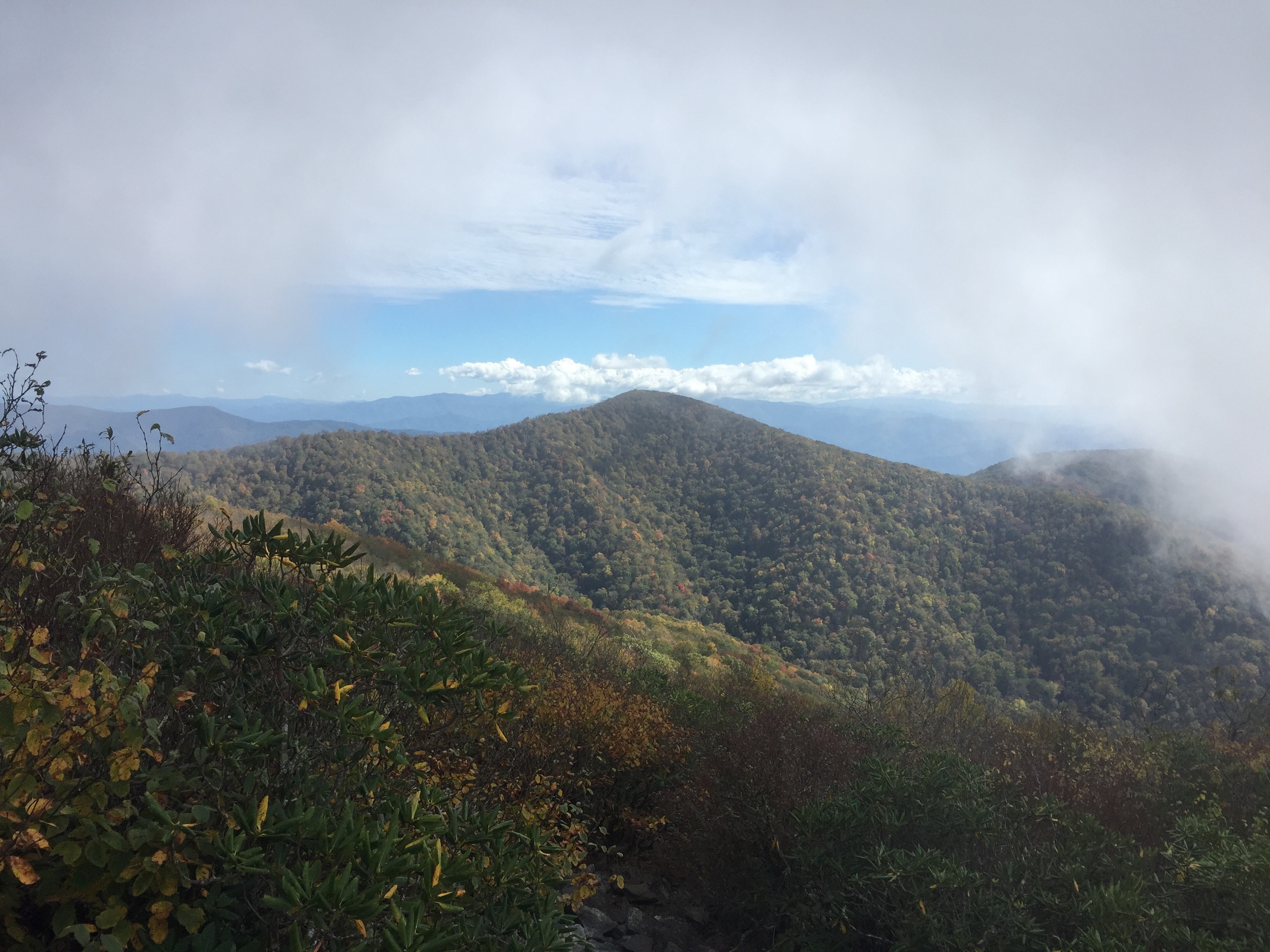
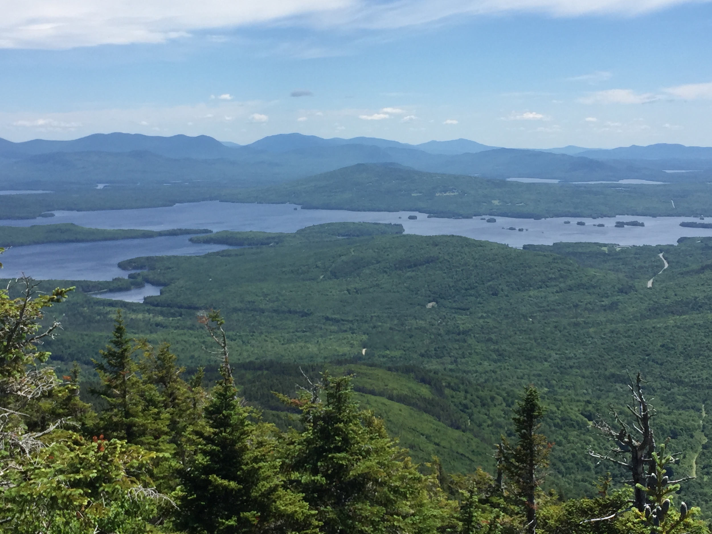
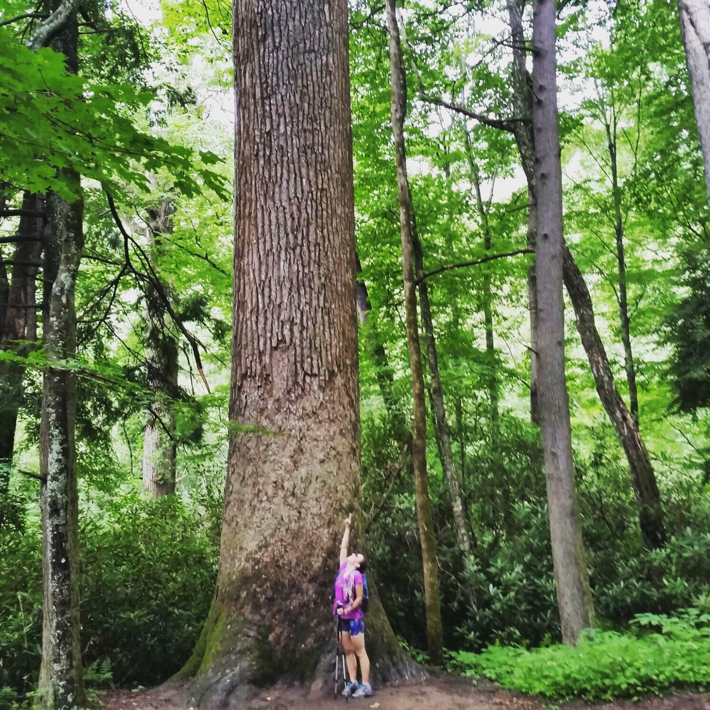
We began our hike by hiking immediately on the Appalachian Trail up and out to Charlie's Bunion where we took a mini break for lunch and taking in the views of Mt. LeConte and the valley below. The fall colors were absolutely stunning, but we couldn't afford much time to take them in due to losing daylight and the mileage still left to cover. We hiked a few more miles before stopping at False Gap, the site of a former AT shelter, to stop and get water. From here, we had a short and steep uphill hike to one of the best views on this side of the park - Bradley View. We took some time here before heading onward to Hughes Ridge Trail and the site of Peck's Corner shelter, arriving just before sunset thankfully!
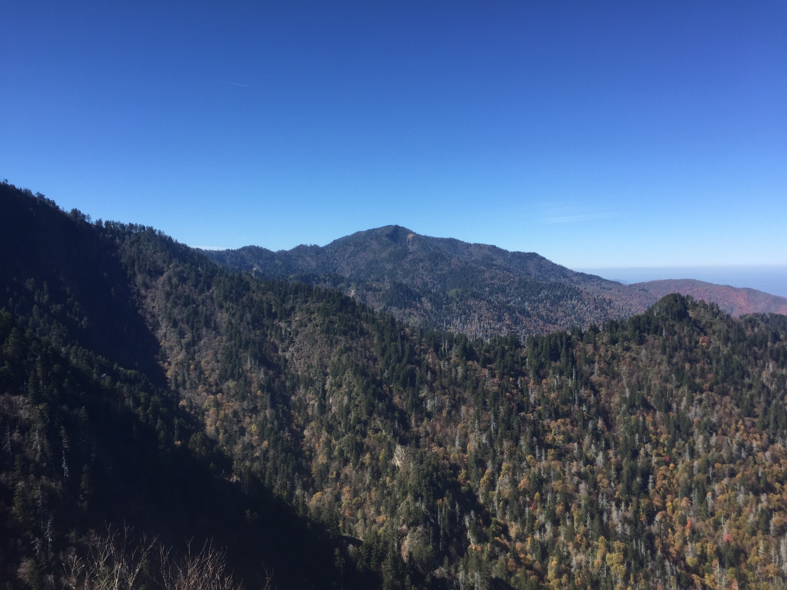
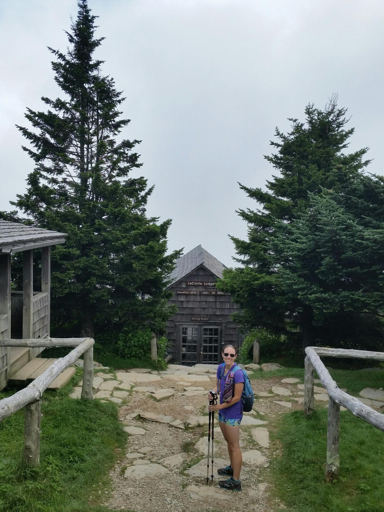
Mount LeConte from Charlie's Bunion
Our second day on trail afforded us a late start as we were only going the 5.8 miles to the next shelter, Tricorner Knob. We began a short uphill hike to Eagle Rocks - another stunning view on this side of the park - and then began our solo hike for the day. As I've said in other posts, solo hiking on these trips are a beautiful thing. You have a chance to walk off your problems of the past few days and sort things out, which is never a bad thing. After hiking about a mile and a half solo, we all met back up to summit Mt. Chapman and head downhill to the Tricorner shelter. Our crew got to meet some AT thru hikers today, however, unfortunately the three that shared the campsite with us were more than a little feral and pretty hostile toward anyone on trail that wasn't one of "them". After attempting to talk to them and enjoy their company, I eventually gave up and we all went to bed early.

Losing daylight at Bradley View.
The third day on trail afforded yet another late start as we were only hiking to Cosby Knob shelter a mere 7.5 miles away. Today afforded us skirting the summit of Mt. Guyot and Old Black - the third and fourth highest peaks in the park and site of an off-trail adventure I took only a few months before my 2012 thru hike. We took a long break at Deer Creek Gap at the site of the old helipad before we all headed down to the Snakeden Ridge Trail and the site of the F4 plane crash from 1984. We began yet another solo hike down to Camel Gap Trailhead. After taking a final break here, we had a short and easy push into Cosby Knob shelter. We spent the night with a few thru hikers and the Smokies Ridgerunner, Maury. For those of you who don't know about Ridgerunners, they are employed by the Appalachian Trail Conservancy. They cover nearly the entire length of the AT and hike designated areas five days a week, living on the trail and being stewards. They will answer any questions you have about the area, as well as educate people on leave no trace ethics. They also have to clean up any trash or clothing left behind, make sure the privy has mulch or duff for composting, and tidy up shelters before heading out. Maury does the entire 73-mile stretch of the AT in the Smokies in both Northbounder (spring) and Southbounder (fall) seasons.

A stunning sunset from Cosby Knob
Our fourth and final day on the trail had us hiking entirely downhill into the Cosby Campground. Two members of our group were able to spot a black bear yearling on their solo hike this morning and one of them got some incredible photos. We hiked next to a creek on the lower half of the Low Gap Trail, which afforded views of the damage done by the flash flood back in July. A nearly 7-foot-high wall of water gushed down this hillside after a torrential thunderstorm, turning up the creekbed and all the plant life around, closing the Cosby Campground for several days.
When we reached the campground we got to wait on our shuttle, which gave us time to reflect on the trip and talk about the things we had learned from each other. We had a long 2-hour ride back up to Newfound Gap and our cars thanks in part to an EIGHT MILE backup where people were getting out of their cars to look at bears on the side of the road. Being that the backup was so terrible, I took the "back way" home - driving out and over the Blue Ridge Parkway. It was a beautiful time to be there being that the leaf color was at full peak. There was very little traffic going this direction and thankfully everyone used the pull-off areas to view the foliage. It was another beautiful trip on the AT in the Smokies.