I recently had a brand new experience during a guided trip - a flash flood. While many of us go through our daily lives and hear or see the words "Flash Flood Warning" pop up on our phones or scrolling across the screen during a weather report, none of us ever actually get a chance to see or experience one. While I hope you never do, I'd like to recount my experience, share a video, and let you know how you can avoid a situation like that while you're out on your next hike.

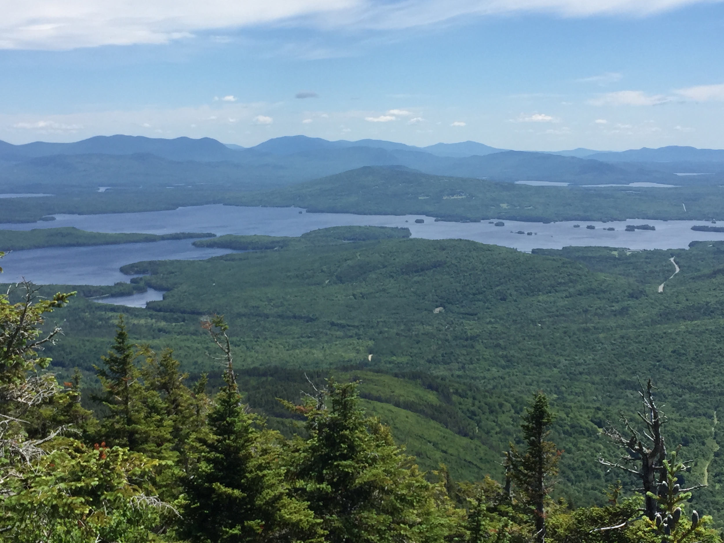
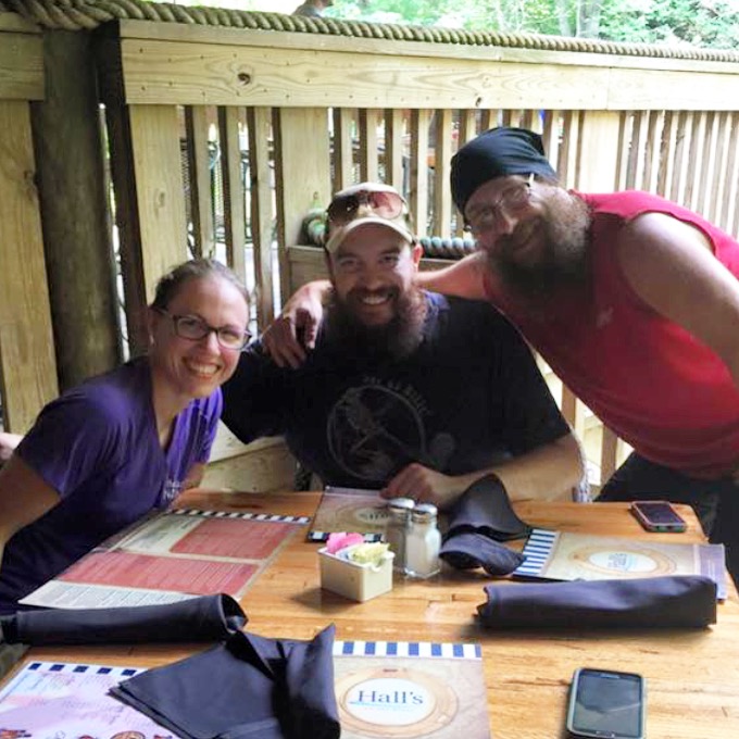
During my most recent Women in the Wilderness trip thunderstorms were again in the forecast. So far this year it has rained on every single trip I've taken. Granted, after our severe drought last year, the rain is a welcome sight. Even though I'm grateful for the rain and the fact that we are now two inches over our normal rain level, I'm starting to get a bit sick of it. Knowing rain was in the forecast I made sure I had packed my usual rain kit for a guided hike, including my uncomfortable and hot rain jacket and a large and incredibly heavy (when it's dry) tarp for my clients to relax under. While our first day on the trail only gave us a sprinkle or two when we first took off, our second day was calling for afternoon thunderstorms. It was while we were lunching that we heard our first thunder clap, but after about 45 minutes of all bark and no bite the storm never materialized. However, just as we arrived at camp, around 3:30 in the afternoon, the sky in front of us was nearly black. I knew we'd be pushing the rain and we hiked downhill to my favorite campsite in the park, campsite 49 (Cabin Flats). We walked back to the farthest site from the trail, right next to the river, and immediately put up our tarp to keep us dry. We assembled all the tents and got underneath the tarp as the first rain drops started to fall. Our group joked how this would be our trip high point - we assembled the tents and tarp just before it got wet, assuring that when we finally set up our tents on the inside (putting our sleeping gear inside) it would be nice and dry.
At first, the rain was steady and not out of the ordinary; however, after approximately 15 minutes, the rain began falling in heavy sideways sheets. The tarp quickly slackened from becoming wet and due to the sideways rain and winds we ended up holding some of the edges, moving to the middle of the tarp with all our gear and hoping the storm would let up. The sideways rain continued for about a half hour before it finally let up, but the rain continued steadily. After approximately 1.5 hours the rain had let up to the point where one of my clients asked "so, how much longer will we have to do this?" meaning stand under the tarp before we set up the rest of our gear. As if on cue, as soon as those words escaped her mouth, we all heard a deafening roar. Looking toward the river, we all watched the water level rise from normal to just at the shoreline and ready to breach. After looking at each other and saying "did everyone just see that?" we ran over to the tents, picked them all up, and moved them to a higher point in the campground. After standing for a few minutes and chatting, we decided I would head up to the top of the campsite, which was higher up, and see how the river looked. When I got there, the water had risen to above the shoreline and was beginning to cover the upper part of the area. I instructed everyone to grab their packs and head up the hill, leaving the tents for the moment.
After bringing all our gear, minus the tarp and tents, to a safe point we came up with a game plan. We definitely weren't staying at the campsite because it could still be raining upstream and the water could get higher. We now had a few choices - grab the tents and stay right on the main trail, hike up to a different site about 3.5 miles away and stay there illegally without a permit, or hike out to our cars. My group was shaken, but not ready to call the trip. We decided to grab the gear and camp somewhere else. Staying as a group, we broke down the tarp and three tents quickly and brought them up the hill to pack them up. On our way back the second time, the water level had risen even more, despite the rain stopping where we were. We sloppily packed the gear as best we could and decided to make the 3.5 miles trek to campsite 50.
My biggest concern with hiking down to campsite 50 was the fact that it was at an even lower elevation than our campsite at 49. I also knew the water would be higher down lower and that we had four bridges to cross to get there. After approximately half a mile we came to the largest and what I considered the most secure of those bridges and I looked to see the water was only about a foot and a half from the bottom of the bridge. This water, at normal levels, comes up to about my mid calf. We paused on the bridge to take photos of the water and I shot a video as well. You can see that below:

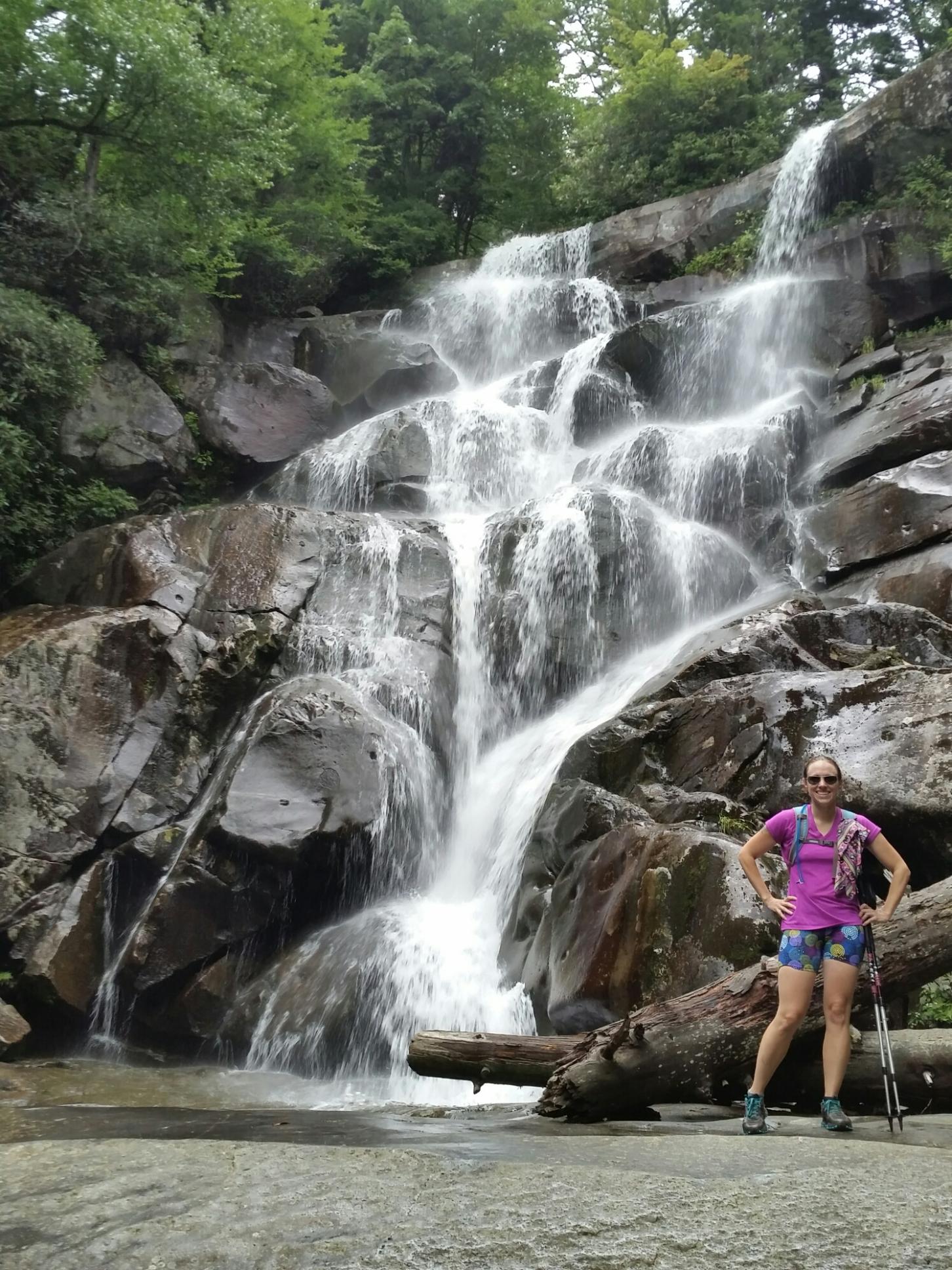
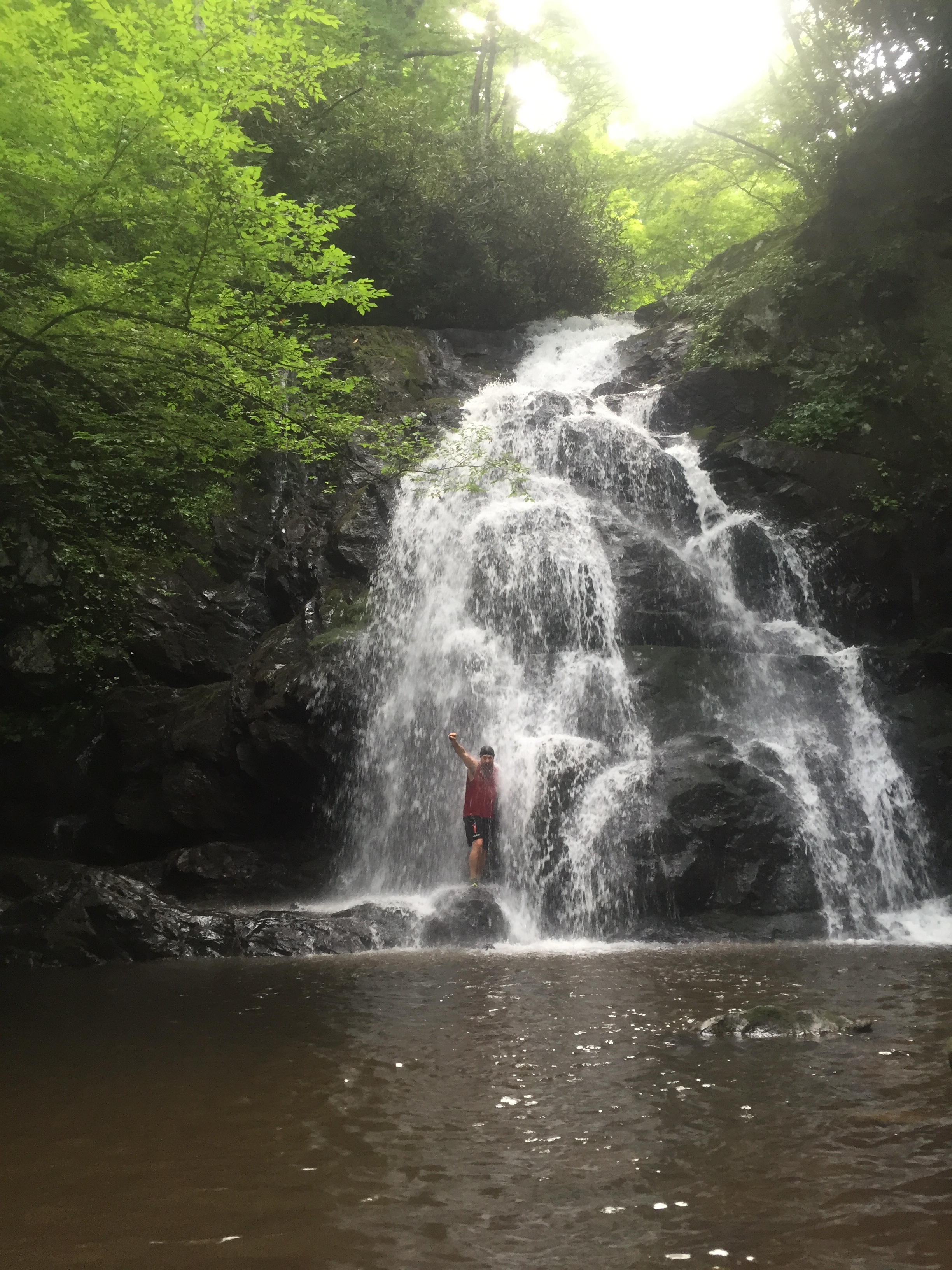
For reference - this is what the river normally looks like.
Our walk continued along the Bradley Fork Trail and over a few more bridges that spanned the raging river. We could see several walls of debris that were freshly piled up on the shorelines at the turns of the water. Thankfully though, the water never breeched the trail. When we got to campsite 50 we were shocked to find it was empty on a Saturday night. We set up our tents, cooked dinner, and spent a dry night cozy inside them.
I would be lying if I told you I felt 100% calm about the situation. I've never experienced water like this in the Smokies before, although flash floods have been known to happen in other parts of the park. Now that I've been through the experience, I can be better prepared for dealing with this situation in the future. Here are my tips for dealing with a flash flood:
1) Stay Calm:
If you panic your body won't help you make a rational decision. In retrospect, it may have been safer to break down the tents and the tarp first to avoid taking that second trip down to the site. Either way it would have taken the same amount of time.
2) Know your outs:
Even if you're backpacking someplace new to you, having an evacuation plan is key for a situation like this. The most important thing you can do during a flood like this is getting yourself to higher ground. Knowing how you can get back to your car is even more helpful, but it's not always possible.
3) Keep paying attention:
Even though we had a plan to continue onward with our hike, and even though we were still talking, laughing, and joking, I was still paying attention to that water and listening for anything out of the ordinary. While you want to get out of the area quickly if possible, it's also important to stay safe while doing so.
4) Report the incident to the proper people ASAP:
I had no cell phone service on this entire trip. For me to report what I had seen I actually had to talk to the backcountry office at the park once I drove to it. Letting the proper people know will get someone out there to check the site for anything unsafe and possibly close it to keep other people safe as well.
While I hope I never have to deal with a situation like that again, I know that hiking for a living in a park with more than 3,000 miles of flowing stream it is a distinct possibility that I will. I'm hoping to be better prepared and even more in control if I ever do. Have you ever experienced a flash flood?