We only had 7.5 miles to town, but we had no idea how long those 7.5 miles would take. Vermont miles seem to be longer than regular miles sometimes! We left camp at about 7:30, promising to see Redwood and Slowpoke in Johnson. We immediately began the 0.4-mile ascent of Whiteface in the hot and humid morning sun. I actually got spiderwebs all over me, and even a spider in my mouth at one point... So to see the top of the mountain couldn't come soon enough! Drenched in sweat before 8 am, we reached the top and began an immediate and steep descent back down the other side.

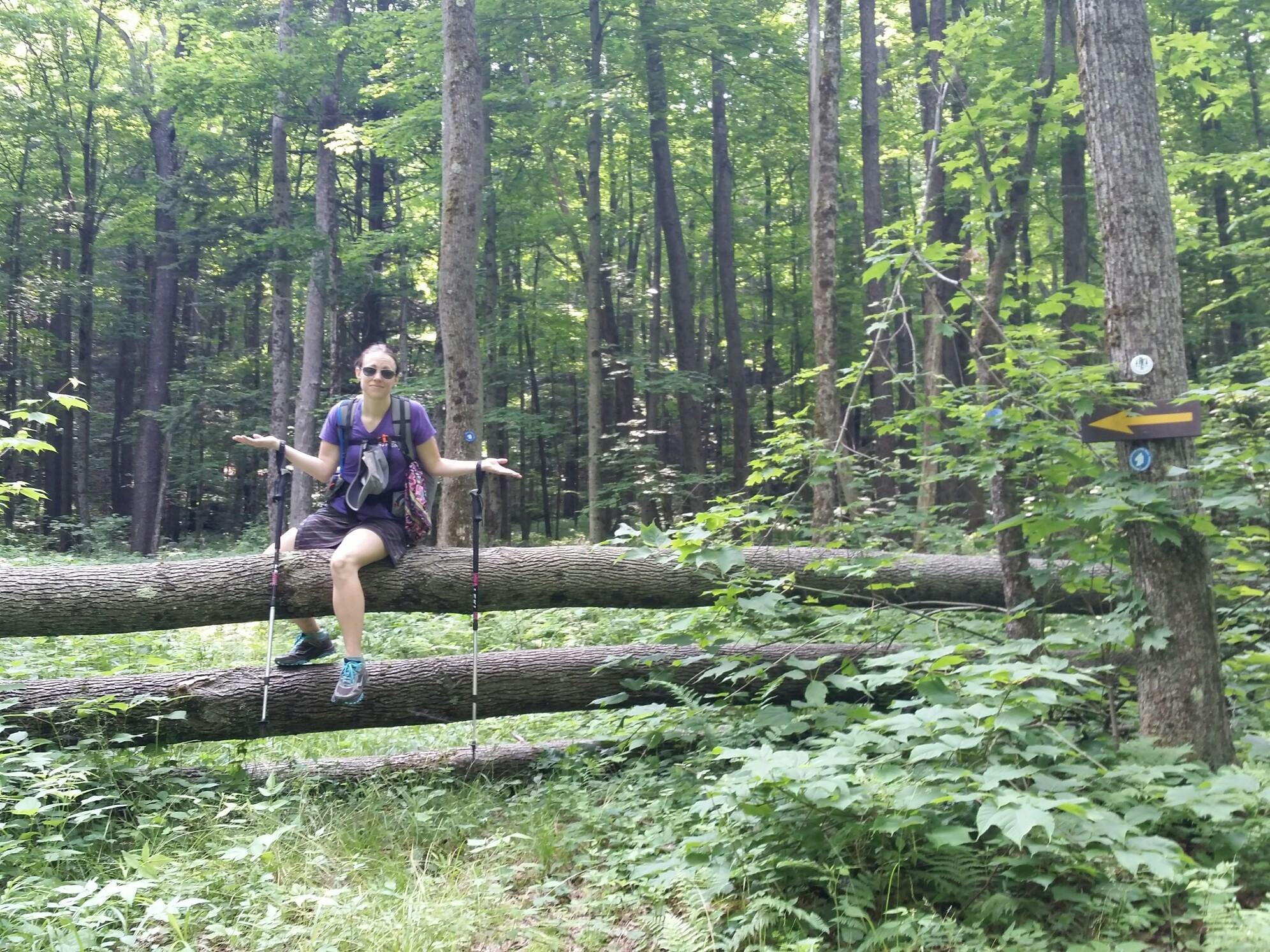
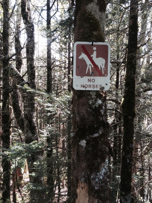
This blaze looks like it is falling off the other blaze... Which is how we get down off the mountains.
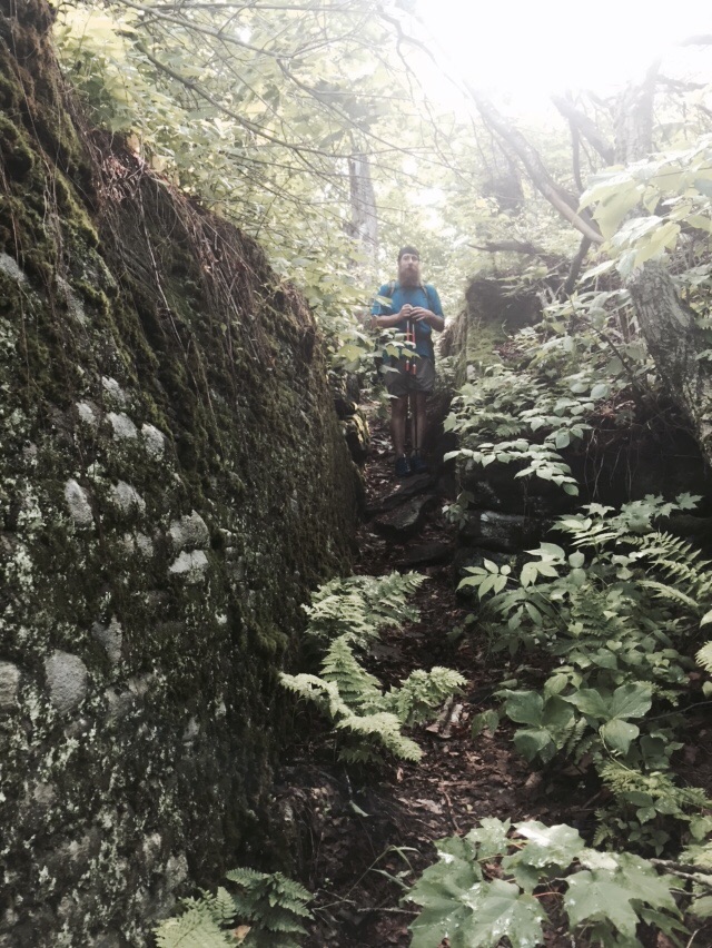
When we had gone about 2 miles, the terrain eased up on us a little and became more gentle. By the time we reached Bear Hollow shelter, we had begun following old roadbeds. The GMC should take note of how nice these trails were. Water bars and proper drainage and footing made for fast and easy miles for us this morning. These trails are obviously snowmobile or cross country ski trails. There is no way The LT would make a trail this nice! We crossed some large bridges and an active log staging area before being deposited on an actual roadbed. From here it was a mere 1.5 miles to town!
We got to Vermont 15 at only 10:15 and threw our thumbs up to get into Johnson. Within 10 minutes we had a ride and went to the store for a resupply. We stocked up on food and grabbed some Chinese food for lunch. We also had noticed there was an outdoors store just outside town, so I ran in and bought the only two pairs of PhD Smartwool socks they had in stock- in my size and the style I normally hike with! It was such good luck they had socks for me. Wearing a pair of NoKey's was going to be tough for the next few days to be sure.
We got picked up by the kind people at Nye's B&B. They did our laundry and we took cold showers to escape the humid and hot 90-degree day. We ate junk food and checked our messages before heading out for dinner. I had a huge Thanksgiving Dinner plate and NoKey had a London Broil. We also got to see Redwood and Slowpoke in town!
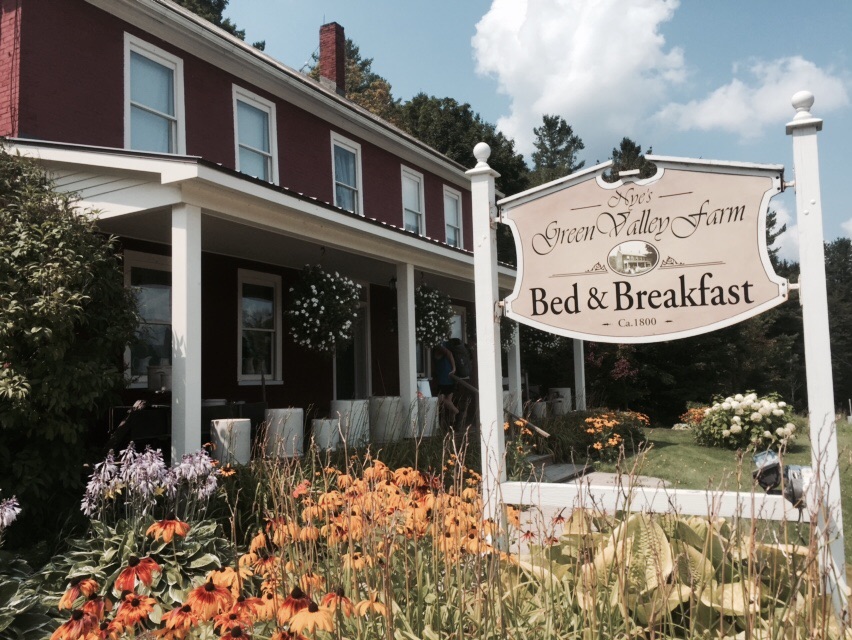
The lovely 215-year-old farm we are staying at tonight.
Our gear and bodies are cleaned up for the final stretch of the trail! Based on trail conditions I am thinking it will take 3.5 days of hiking to finish the trail. The shelters are spaced apart just a little too far for a feasible hiking day and there is rain in the forecast soon. We are hoping for cooler temps soon!

A few more of the farm buildings at Nye Valley Farm.