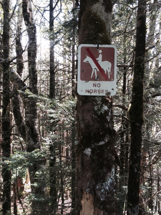
We finally arrived at our last four miles on the Long Trail! Since we only had 4.4 miles to hike to the Canadian border this morning we slept in and got a late start, 8:30! We began the day like every other day in Vermont mostly, by walking up a rock slab to a mud pit, this one being directly behind Shooting Star shelter. We had half a mile to walk up Burnt Mountain, which wasn't named very recently we had decided since it was lush, green, and VERY muddy and wet! There was a small view to the west, but we had our eyes on the prize and were ready to get finished with the trail. We practically ran downhill to North Jay Pass and our final road crossing.
After stumbling around on the road for a few minutes looking for the trail, which is ALWAYS better marked for SoBo's for whatever reason, we found our trail and began a short climb up our final hill - Carleton Mountain. The trail was pretty easy at this point, only getting steep in that special Vermont way once or twice. I let out a huge victory yell at the top and even danced the Carlton, just because. On our way back downhill, we ran back into Neo and started hiking with him. It was clear at this point Vermont wasn't going to get us go without a fight - lots of mud pits with only a few branches haphazardly thrown in for our attempts to cross them. We had been walking with Neo for about half an hour when we came around a bend and Neo just exclaimed "Oh my God, FINALLY!" We had reached the wooden sign proclaiming the northern terminus of the Long Trail! We took photos of each other and then headed up the trail a few more feet to the obelisk at the Canadian border. We took a long time here until a group of SoBo's showed up. Now is when the real adventure began!

Another thru hike in the books!
Before getting back to the main road, we had to first walk a half mile downhill to Journey's End shelter, where the entire valley smelled like a rotting animal corpse - including the water! Once passing the camp, the trail turned into an old road bed and we walked 3/4 of a mile to the parking area. There were only three cars here, none of them with people, and we knew we would be road walking. We walked with Neo for the 1.2 miles of Journey's End Road, passing occasional homes or winter cabins. When we were getting close to the intersection of Journey's End and North Jay Road I heard a car approaching. I ran as fast as I could with my thumb up to the intersection and reached it just as the truck was passing. He stopped and told NoKey and me he could take us to Jay. Neo was headed the other direction, to North Troy, and would have to continue to walk.

I'm here!
We rode to Jay and the man took us all the way to Route 100, which is where we decided to go so we could get to our car back in Killington. We were picked up by another man from Tennessee who was on his way to Maine. He turned around to pick us up and took us down to Troy. We got another ride from Troy down to Westfield. It took about 40 minutes in Westfield to get another ride, this time from Ryan from NYC with his young daughter. He laughed that his wife had no idea what he was out doing today and that if she knew he was picking up hitchhikers she'd be pretty upset! He dropped us off at the crossroad for Lowell, which is the road you take to get to Hazen's Notch. Brittany picked us up next. She was going to drop us off further down on Route 100, but thought we'd have an easier time getting picked up on Route 7, which is where Rutland is. She took us all the way to downtown Burlington.
The Journey's End!
From Burlington we had planned on taking the bus to Rutland. We stopped for tacos and then walked around downtown, as it was Saturday afternoon and there was a lot going on. We were pretty dirty and carrying backpacks, so we elicited a few stares! We got to the bus station and were informed there is no bus to Rutland and the woman couldn't even tell us how to get to Route 7, so we googled and walked our way there. Unfortunately, there is a lot of urban sprawl in Burlington and that's bad news for hitchhiking. NoKey went into a gas station to make us a sign that said "hikers heading south" and the sign worked like a charm. We were picked up by a couple who took us to the outskirts of the sprawl and then picked up by a guy who was heading back into New York. When he dropped us off, we were back on country roads again.

The end of a long and rewarding trip.
From here, we were picked up by Walker, a young guy who recently put the new roof on the Inn at Long Trail and was headed to a music festival in Middlebury. He took us all the way to the outer edges of Middlebury where we were picked up pretty quick by a guy headed to Rutland. After talking with him for a few minutes about wild mushrooms, IPA's, and even dogs, he decided to give us a ride all the way to our car in Wallingford. We reached our car at 6:30 after hitchhiking for 7 hours. We headed up to the Inn at Long Trail to camp on the lawn for the night. We were hoping for a shower also, but no such luck. Thankfully, we had brought a bag from home with clean clothes and even some deodorant! We headed inside to have celebratory beers and dinner with some other hikers and live music. We fell asleep to the sounds of traffic on Route 4 at Sherburne Pass. A fitting end to a hell of a journey!