
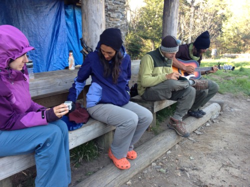
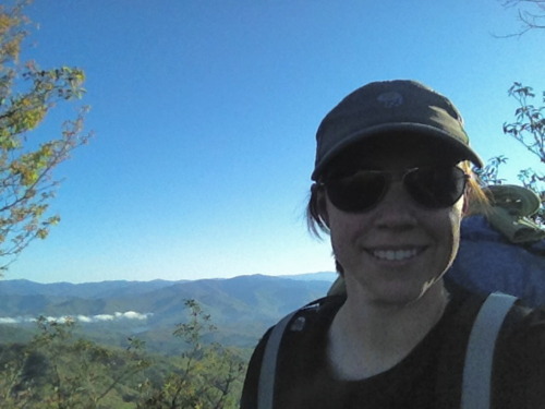
Our last day is finally here!! Everyone was up and moving around at 7:30 and we were in a hurry to get moving. Even though the forecast predicted rain, we woke up to sunshine and we were in a race with the weather. Mt. Sterling, the highest point on the BMT at more than 5800 feet, was waiting for us and I wanted NoKey to get the view I think is the best in the Smokies. We did a quick 5.8 miles in less than 2.5 hours to get to the top by 10:45 am. We were definitely rewarded!

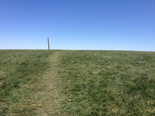
Looking at the AT from Mt Sterling on a nearly perfectly clear morning!
From here, we got a few texts out to my family to let them know we would be done by 1:30 and shot off down Baxter Creek Trail for a 4000-foot elevation loss down to Big Creek Campground.
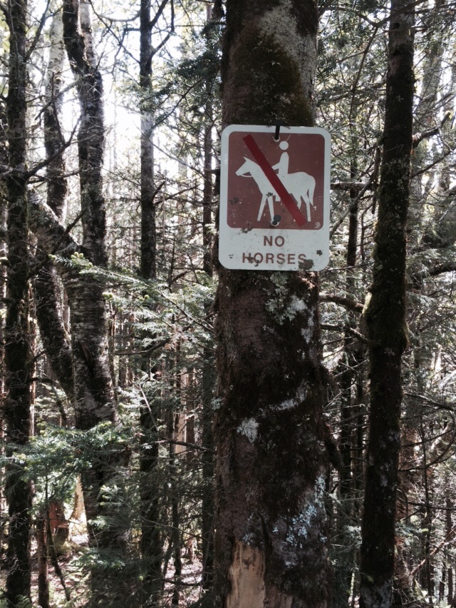
Finally! We won't be walking in horse poo!!
We made it down the hill in 2 hours and finished the trail at 1:20 pm. There were tons of people picnicking in the day use area, so we were able to get a photo of the two of us together at the terminus of the BMT with my homemade sign. It was a great feeling to have sunny skies to finish this tough trail.

We did it!
I will be writing a recap of the BMT in a few days and sharing it with you all. This trail had three very distinct sections, broken up every 100 miles or so. It feels great to be back home in a temperature controlled environment with comfy beds, but two more trails await us this summer!


 I pushed through 19.5 miles (on trail, not counting the extras!) to get down into the NOC today! I started the morning by saying goodbye to Trauma Kit as he has to go back to work Monday :( The views from Wayah Bald this morning were awesome and we could actually see the Albert Mountain Fire Tower from there! Dingo and I pressed on for trail magic at Burningtown Gap from Grits (NOBO 09). I had a lot of uphill today, crossin several balds. This was also the first day I truly had to hike in the rain! It rained off and on all day, making the trail muddy and slick. When I got to A Rufus Morgan, Ryan told me thru hikers can camp at the NOC for free, so I took advantage of that, eating food and scoring free brownies from the hiker box (this is where hikers can take or leave things they no longer want, usually food, but sometimes extra bear line or luxury items, like shampoo, etc.) Now it’s raining again and I’m hunkered down in my tent, thinking of the huge climb tomorrow! I can’t believe I’ll be in my own bed in two nights!