Our last day is finally here!! Everyone was up and moving around at 7:30 and we were in a hurry to get moving. Even though the forecast predicted rain, we woke up to sunshine and we were in a race with the weather. Mt. Sterling, the highest point on the BMT at more than 5800 feet, was waiting for us and I wanted NoKey to get the view I think is the best in the Smokies. We did a quick 5.8 miles in less than 2.5 hours to get to the top by 10:45 am. We were definitely rewarded!

Looking at the AT from Mt Sterling on a nearly perfectly clear morning!
From here, we got a few texts out to my family to let them know we would be done by 1:30 and shot off down Baxter Creek Trail for a 4000-foot elevation loss down to Big Creek Campground.
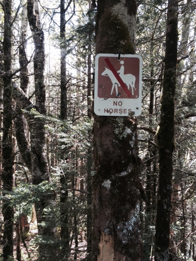
Finally! We won't be walking in horse poo!!
We made it down the hill in 2 hours and finished the trail at 1:20 pm. There were tons of people picnicking in the day use area, so we were able to get a photo of the two of us together at the terminus of the BMT with my homemade sign. It was a great feeling to have sunny skies to finish this tough trail.

We did it!
I will be writing a recap of the BMT in a few days and sharing it with you all. This trail had three very distinct sections, broken up every 100 miles or so. It feels great to be back home in a temperature controlled environment with comfy beds, but two more trails await us this summer!