NorthCountryTrail

Hiking at Robert H Treman State Park

We made our biweekly trip back down to Ithaca to hike to see Lucifer Falls, a 115-foot waterfall at Treman State Park.  This park encompasses the now defunct town of Enfield Glen, of which only a few relics remain.  This park encompasses a total of 12 cascades or waterfalls and is an easy 6 miles of walking on very well-maintained, albeit busy trails.  We began at the lower end of the park and walked up the Gorge Trail first.  Along the way we saw many small cascades and a bigger waterfall, all along trails edge.  When we reached the 2 mile mark we were at the base of Lucifer Falls.  From here, the Gorge Trail had washed out and we were rerouted onto the Rim Trail (are you guys noticing a pattern here, all the trails in Ithaca are named Gorge Trail and Rim Trail!) and up multiple flights of beautifully built stone stairs, which in my mind belonged in some kind of medieval castle!  At the top, it was a short walk to the view of Lucifer Falls.  

After viewing the falls, we continued uphill to meet up with the Gorge Trail once again, which you could follow for about 0.3 miles to an overlook with a bridge near the top of the falls.  We wandered back to the upper parking area and through an old flour mill, which has been restored and turned into a museum honoring both the former town of Enfield Glen and the CCC who built the trails and the parks during the Depression.  

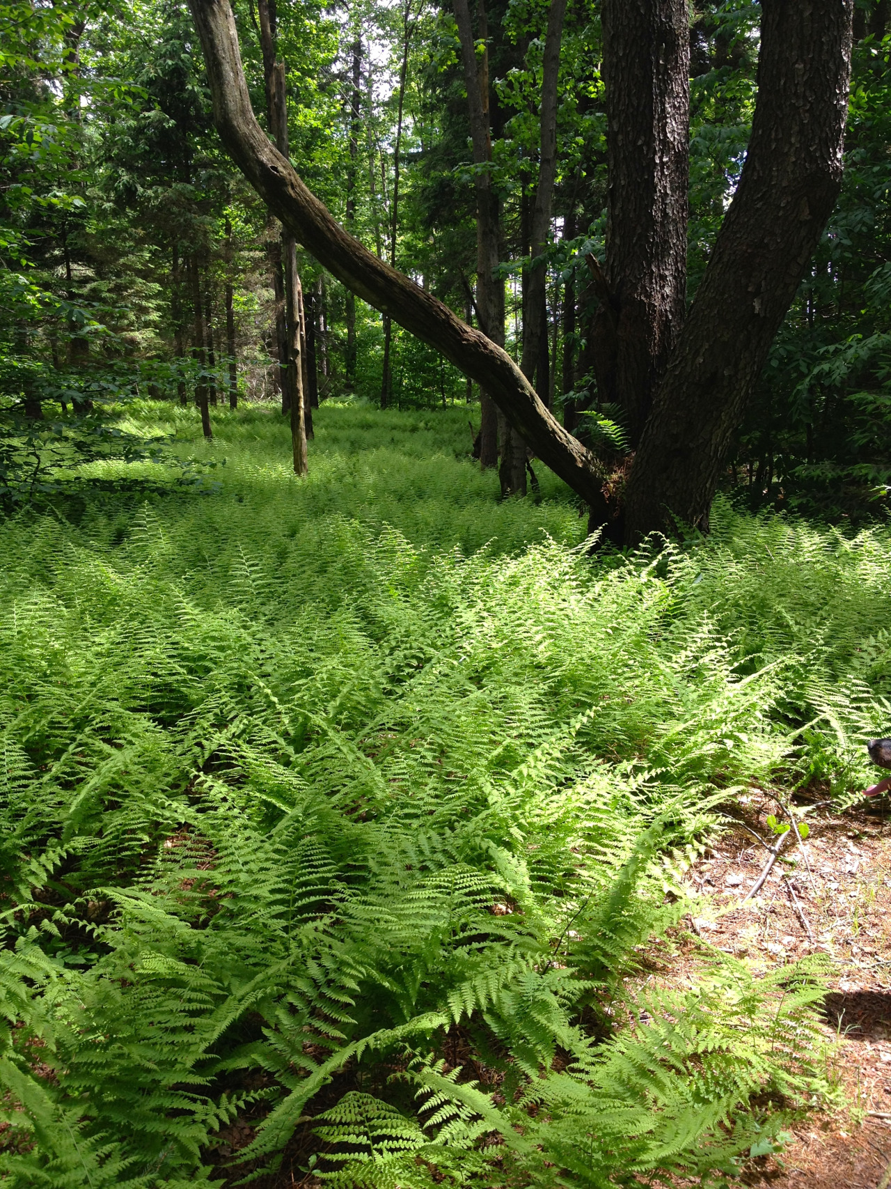
After lunching and wandering through the museum, we took the CCC Memorial Trail to the Finger Lakes Trail to get a break from all the crowds and hike on real trail again.  There was an old woods road to walk on through the site of the former CCC camp and a bridge crossing Fishkill Creek which was out of service.  We crossed the bridge anyway only to realize why it was closed - the end on the other side had absolutely nothing supporting it!  YIKES!  After walking a short mile on the Finger Lakes Trail in solitude, we joined back up with the Rim Trail to hike back down to the car.  These two miles weren’t quite as busy as the Gorge Trail, but still very well-traveled.  When we reached the bottom, we reached Enfield Falls and the public “beach” at the bottom.

The photos above are: a swimmer on the diving board at Enfield Falls, the small falls on the Gorge Trail, NoKey’s face in a unique limestone formation,  NoKey walking up seemingly endless steps, me on the bridge over Lucifer Falls, and me jumping for joy while out in nature.  


Another weekend means time for another backpacking trip! This weekend was calling for some hot and sticky weather, but we had decided that we wanted to backpack anyway and decided on another section of the Finger Lakes/North Country Trail, this time on map M19 which is partially in Kennedy Memorial State Forest just outside of Dryden/Cortland, New York.

We started off our hike by climbing up Virgil Mountain (the highest point in Cortland County) and Greek Peak from Tone Street.  This 700-foot climb was steep in some places, made more difficult by the mud leftover from the past weeks’ rain.  After climbing to the top of Virgil Mountain we were rewarded by walking through waist-deep grass and underneath hot powerlines before walking through more waist-deep grass on Greek Peak. Thankfully the blackberries haven’t fully come in yet, but I’d say within two weeks this portion of trail won’t be pleasant due to thorny berry vines!  

From here, we had a fairly uneventful walk undulating to the Firefox lean-to.  For being 11 years old and incredibly close to a road, this lean-to was in great shape and well-maintained, even with a picnic table for our lunch break!  We continued westward on the Finger Lakes Trail, climbing up an incredibly steep hill on the west side of Babcock Hollow Road, some areas even provided ropes tied off to trees to help us get up the grades! Finally, we came to the split with the blue-blazed Swedish Loop Trail, which we decided to take for a change of scenery.  Instead of starting our day with a road walk, we pretty much ended our day by walking the 0.5 miles down Daisy Hollow Road. The 4 p.m. afternoon sun combined with 85+ degree temperatures made for a pretty hot half mile.  From here, the Finger Lakes Trail turned right across the road, but we stayed on the left side to the Spanish Loop orange blazed trail.  After going in only about 1000 feet, we noticed there was a blue blazed Irwin Trail leading directly to the Irwin biouvac site, which is where we were planning to camp for the night.  We took the blue blaze for a short 0.2 miles where we found a tiny campsite stocked with a 5-foot tall pile of firewood, a bench, a fire ring, and if you headed up the trail about 250 feet, two adirondack chairs set up looking at a small cascade.  The campsite was a beautiful site to be sure.  

We ended up meeting the trail/campsite maintainers about an hour after arriving to camp.  They walk the trail system over here every single day and try to bring back dry wood to keep the campsite stocked and inviting.  We thanked them for all their hard work and told them their love of the place really showed!  We got to sleep that night in the cool breeze blowing up from the small gully containing the creek next to the site, which was incredibly welcoming considering it didn’t get below 65 all night. 

The next morning instead of heading back out the way we came in, we decided to follow the Spanish Loop back into Kennedy Forest and follow the old roadbed to the Swedish Loop Trail to cut some mileage off.  Our dog woke up with swollen feet that morning and we wanted to keep her comfortable, taking plenty of rest breaks in creeks for her to calm down the irritation in her feet (which are fine by the way! She’s just getting older now and gets a few aches and pains like all hikers do!)  We followed the Finger Lakes Trail for a very short period of time after the Swedish Loop, all the way until just past the lean-to.  After the lean-to, we met up with a figure-eight trail intersection and took an old logging road which partially composed the Virgil Mountain Loop trail, which we followed back to the powerlines we hiked under the first morning out.  Then, it was an easy 1.4 miles through the waist-high grass and down the steep hill to the car (and some time to play in the creek!)

The photos today are: A really cool tree root system, NoKey and Gracie walking in a dense pine forest, an abandoned steam engine, the view from the FireFox Lean-to, a Finger Lakes Trail sign at a road crossing, and Gracie relaxing next to the fire in camp. 

Hiking the North Country Trail/Finger Lakes Trail on the Onondaga Trail section. 

NoKey came home from work Friday morning and announced he’d like to go backpacking over the weekend.  We have started keeping all our backpacking gear in two tubs in the attic so it would be easy to grab and go - seriously, we can have our bags sorted, assembled, and packed in less than half an hour.  We looked on our new favorite website, CNYhiking.com, for a close and pretty trip and quickly decided on the Onondaga Trail.  This trail makes up a small part of the 590-mile Finger Lakes Trail, which runs concurrent with the North Country Trail here in Central New York.  Our hike would only be 24 miles round trip, but it could have been a 30-mile loop using three separate state parks and natural areas in four counties.  

We started our hike at NY-13 at a DEC parking area and began with a road walk (OUR FAVORITE!)  Today we walked past an active dairy farm, up the side of the farm, and into the woods in Morgan State Forest.  We walked mostly on a mix of state forest and private lands, sort of skirting and weaving into and out of the two.  At one point, we even walked on an ATV trail, which is the handicapped hunting access to some private lands.  After approximately 8 miles, we came to Tinker Falls, which is a huge falls with a teeny amount of water.  This was pretty much the only place on the trail we saw any other hikers.  We continued 3 miles past the falls to Spruce Pond to camp for the night. 

I had read online that Spruce Pond is a popular weekend spot and therefore was the only place on this loop that required reservations.  Of course, in true New York style, they don’t tell you how to get reservations.  We took the chance and guess what? We were the only people at the campsite.  This probably was due to the cruddy weather - high of 55, low in the 40s, and threat of rain/mud all day Saturday.  We enjoyed having a quiet night and sadly couldn’t get a fire going not only due to the lack of wood at the popular site, but also due to the fact that it had rained every single day the past five days and everything we did find was soaked.  

The next morning we headed back out the way we came and saw a few more hikers, all of whom were in love with Gracie the Adventure Dog and her doggie backpack.  

The Onondaga Trail is a great hike with several strenuous climbs and good scenery - so many beautiful water features.  It was tough enough to make our dog tired the next day and that’s all we can ask for!

The photos above: Ferns on a sunny Sunday, some pretty (and probably deadly!) mushrooms, a scene from the road walk back to our car, Tinker Falls from above (looking much smaller than it is!), a hang gliding meadow just before Labrador Unique Area, and a small waterfall where we ate our lunch on day 1.