We started this morning very early! We got dropped off at Dunkin Donuts on exit 10 at about 6:40 this morning. We got coffees and donuts and left at about 7:15 to walk down the old FLT through Blodgett Mills. We decided to do this to avoid doing a double back on ourselves of about 5 miles. We were making great time on the road walk and we're back in the woods quickly. The trails were in good shape this morning, albeit muddy from all the recent rain. We had beautiful blue skies this morning and made it to a part of the trail we were very familiar with at about 10:45. We took a lunch break in the creek to keep the mosquitoes away and then took off for our big climb of the day up Virgil Mountain and Greek Peak.

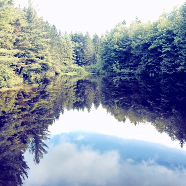
The view from Virgil.
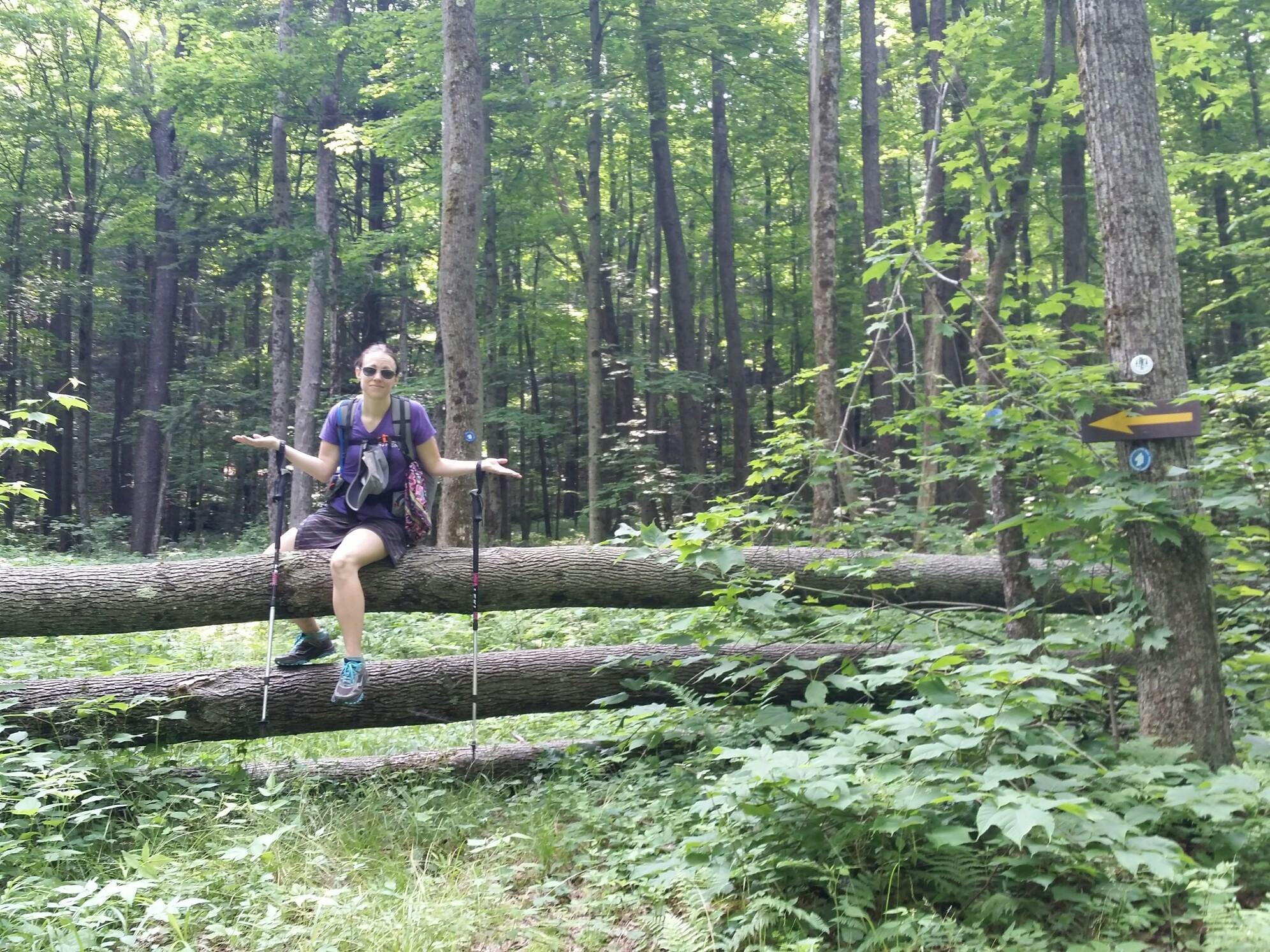
We have hiked this entire section of map before, so it was really nice hiking familiar sections of trail. Someone had very recently cut back all the briars and brambles so we were VERY happy! The trail did get a little muddy toward the top, but all in all we made it up pretty quickly. We then began another descent down to a road where we decided to take the high water bypass by walking on a winter snowmobile trail. This whole area recently got hit by a flash flood so we didn't really feel like tromping through washout, especially since we had already hiked this section of trail before.

I have no idea what this tape means.
We reached the next road crossing and were less than a half mile from the shelter in the early afternoon. Since I had to go through and make us a rough schedule of where we would be staying, we called it an early day at 2 pm at the Foxfire Lean to. We pretty much have to stay on the schedule due to lack of places to camp in some parts of the upcoming maps. The weather is also calling from rain from 1 am to about 11 am tomorrow so the shelter seems like a better option than tenting. So far we have only had two days on trail with dry feet... I'm hoping the rain breaks up before it gets here tonight!

I love seeing these logos on all the shelters! This is the Foxfire Lean To