


The Cranberry Lake 50 - Memorial Day 2014
For our three-day weekend we wanted to do a backpack trip to not only get back out into the woods for a few days but also to test out some new gear we both had. We had been doing lots of long walks with our dog to get her ready for the challenge and we finally found our perfect trail: The Cranberry Lake 50. This 55-mile loop (road walk included) goes around Cranberry Lake in the western Adirondacks. After looking at a multitude of routes we decided on this trail for a variety of reasons, the most important being that the entire loop would be dog-friendly. Although there isn’t much elevation or technical hiking, this loop was perfect for our first trip in over a year (NoKey’s first since hiking the AT in 2012!)
Our day 1 involved us leaving a car at the end of the trail due to the 5-mile road walk we wanted to get out of the way first. Roadwalking is never fun, and this one was on a paved state highway mostly uphill. We were very happy to enter the woods on the Peavine Swamp Trail, which was surprisingly not very swampy due to the fact that the SUNY Ranger School operates at the opposite end of the trail. It was a beautiful and calming walk before reaching the shores of Cranberry Lake for a lunch break. From here, we had another short road walk (about 2 miles) into downtown Wanakena. The man running the general store informed us there was a large storm cell coming down from Quebec, so we hightailed it out of Wanakena and back into the woods. The trail from here was extremely flat and well-maintained due to the popular High Falls Loop, a 16-mile dayhike easy enough for summer folks to do during the days.
After a night of rain (our new tent kept us dry as a bone!) we set out on a sunny and beautiful day two. Today we’d hike a variety of trail types, from down by lakes and streams to the tops of small ridgelines. We saw our only other hikers in the mid morning, two guys doing the loop the opposite direction. After a lunch break at a beautiful spot, the trail suddenly turned very ugly. The Otter Brook trail was 5.1 miles of misery, alternating between deep bogs with thick mosquitos and piles of blowdown you could only bushwhack through. Thankfully, this was going to be the end of our day, but the late day sun was relentless and we were hot, sticky, and muddy. When we got to the Dog Pond, our campsite turned out to be not a campsite at all. In fact, there were no more campsites ANYWHERE despite them being marked all over the map. We stumbled through bogs, beaver ponds, and more blowdown for nearly two miles before coming to a giant blowdown with the most beautiful site - a campsite marker pointing into the woods. We followed the “trail” to the edge of a large pond and found a spot flat enough to set up the tent. We call it a success and set up to pass out for the night.
After a long and rainy night (and a rainy morning!) we packed up late, around 9 a.m., and hoped for the rain to stop. Thankfully the rain had stopped, but the trail was still boggy, muddy, and nasty for the next 5 miles. This five mile stretch was said to contain more than 15 campsites, but we only saw two, which made us thankful we had the luck to stumble upon our campsite the previous night when we did. When we reached the Burntbridge Pond Trail we knew we had less than 3.1 miles to go and although the trail had flattened out it was technically a snowmobile trail, so more mud and bogs were waiting for us. We reached our car just before 12:30 and were very happy to be at the end of the mud. We stopped back in Wanakena at the General Store for some snacks and drinks before heading back home to Syracuse.
Other than the mud and blowdowns, which were to be expected due to the fact that it’s the rainy season here right now, this loop trail would make the perfect beginners multi-day backpack trip. I highly recommend the trip and would like to do some of the side trails another time. It’s also a wonderful loop to do with a dog who likes to hike. It was enough of a challenge to keep her going and wear her out enough to sleep a full night.
You can check out the loop on the web at www.cranberrylake50.org
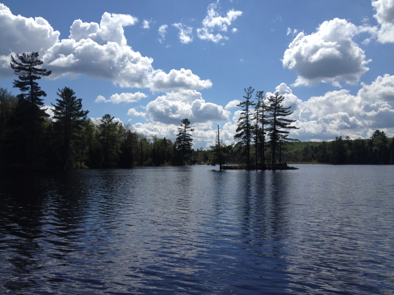
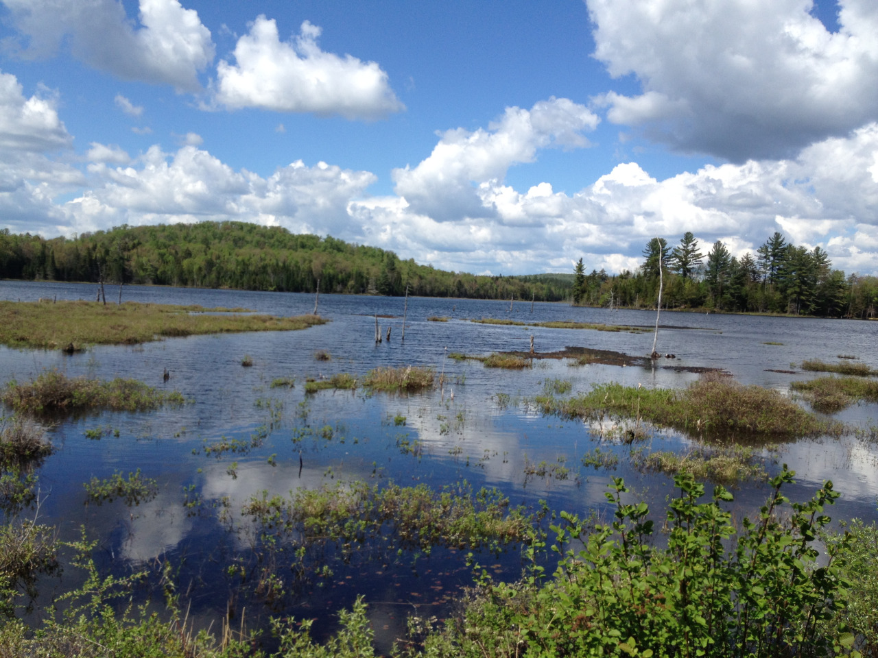
The photos above are: 1&2) An unnamed pond on the road walk between the Ranger School and Wanakena; 3) A beautiful natural waterslide on day 2; 3) The Peavine Swamp trailhead (and a terminus for the trail); 4) A pack explosion in a shelter on the trail; 5) Gracie taking a break after a killer day 2.